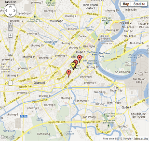
flatGEO Consulting Co. is implementing an inventory map of geotechnical investigation points using Google Maps service. This map will facilitate the data query and the data availability for a proposed investigation site.
All data points on this map are used the coordinate system of WGS84 with UTM projection. Data points using another coordinate system should be transformed to the WGS84/UTM system.
Click here to view the inventory map.